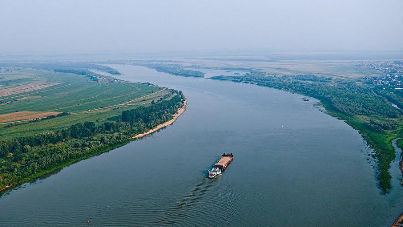
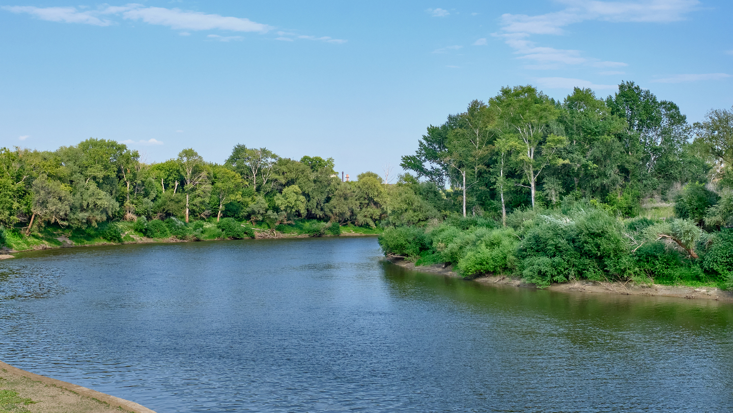
The Irtysh River is a major river in the Arctic Ocean basin and a left tributary of the Ob River. It flows through Kazakhstan across the Abai, East Kazakhstan, and Pavlodar regions. Its total length is 4,248 km, of which 1,698 km lie within Kazakhstan. The river’s drainage basin covers an area of about 1,643,000 km².
The Irtysh originates in China, where it is known as the Black Irtysh (Bala Irtysh). In Kazakhstan, it flows into Lake Zaysan, and after leaving the lake it is called the White Irtysh (Irtysh). From there, it continues into Russia and eventually joins the Ob River.
Within Kazakhstan, the river first flows through hilly and plains regions, then passes through narrow mountain valleys between the Altai, Naryn, and Kalba ranges before reaching the city of Oskemen (Ust-Kamenogorsk). In this section, several large hydropower facilities have been constructed, the most significant being the Bukhtarma Hydroelectric Power Plant (HPP). The dam, with a height of 96 meters, created a reservoir stretching about 600 km, often referred to as the “Great Irtysh Sea.”
Downstream from Bukhtarma lies another reservoir — the Ust-Kamenogorsk Reservoir, formed by the dam of the same HPP. Between Oskemen and Semey is the Shulbinsk Reservoir, created by the Shulba Hydroelectric Power Plant.
Below Oskemen, the Irtysh flows through a wide valley. To the right lies the Ore Altai, and to the left the Saryarka (Kazakh Uplands). In this section, the riverbanks are high, steep, and in some places rocky. Near Semey, the river becomes a typical lowland river, with a meandering channel that sometimes splits into branches. Numerous tributaries join the Irtysh here, the largest being the Ulba and Uba rivers (from the right), and the Shar and Kyzylsu rivers (from the left).
The name of the Irtysh appears in ancient Turkic inscriptions, including the 8th-century Tonyukuk and Kul Tigin monuments. These texts mention Turkic tribes crossing the Irtysh during military campaigns. In medieval sources such as the works of Mahmud al-Kashgari, the river is referred to as “Ertish.” Various scholars have proposed different etymologies, including interpretations related to ancient Turkic roots meaning “swift passage” or “river.”
Hydrologically, the Irtysh is fed mainly by snow and glacial melt in its upper reaches, while rainwater and groundwater contribute significantly in its middle and lower courses. Its basin covers parts of the Altai Mountains, the Tarbagatai Range, the northeastern Saryarka, as well as the West Siberian Plain and foothills in Russia.
The river has great economic importance. It is widely used for navigation, with a navigable length of about 3,600 km. Major ports along the river include Oskemen, Semey, Pavlodar, Omsk, Tobolsk, and Khanty-Mansiysk.
Several major hydropower stations operate on the Irtysh, including the Ust-Kamenogorsk, Bukhtarma, and Shulba HPPs. The river’s hydropower potential is estimated at around 30 billion kWh per year. Its waters are also used to supply the Irtysh–Karaganda Canal, which provides water to central Kazakhstan.
The Irtysh is rich in fish species such as pike, perch, zander, carp, bream, sturgeon, and others. Some species, including the Baikal omul, have been introduced.
Major tributaries in Kazakhstan include the Ishim, Tobol, Bukhtarma, Shagan, Ulba, Shar, Kurshim, Naryn, and Kalzhyr rivers, among others. In Russia, key tributaries include the Vagai, Konda, Om, Tara, and Demyanka rivers.
Overall, the Irtysh is one of the most important waterways of Eurasia, playing a crucial role in the region’s economy, energy production, transportation, and ecology.
Source:kk.wikipedia.